02.07.2020
4:00 pm
5:00 pm
CEST
Water world: How Earth Observation data is deepening our knowledge of flood risk and water resource management
Published By:
Hosted by:
ESA EO4SD - Climate Resilience Cluster project
About the webinar
Session will explore EO data contributions to flood risk, water and wetness management

Earth Observation (EO) data and services are vital tools for the water sector, supporting flood events, and conducting wetland inventory status in rural and urban areas. EO provides valuable information (Flood extent, historical flood events etc.) with the aim to assist authorities to prepare the most effective actions to manage flood risk and develop plans to tackle disasters.
This webinar will present in detail how Earth Observation data with different spatial and temporal resolution can contribute to flood risk, water and wetness management.
This session is part of a webinar series on using Earth Observation (EO) to tackle climate change. Click here to see all the webinar series.
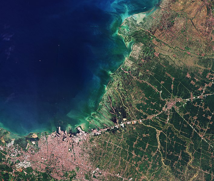
COVER PHOTO CREDIT:
European Space Agency (ESA)
Focus Region:
Global
Focus Topic:
Information Technologies
Knowledge Management
Climate / Weather / Environment
Land / Water / Resource Management