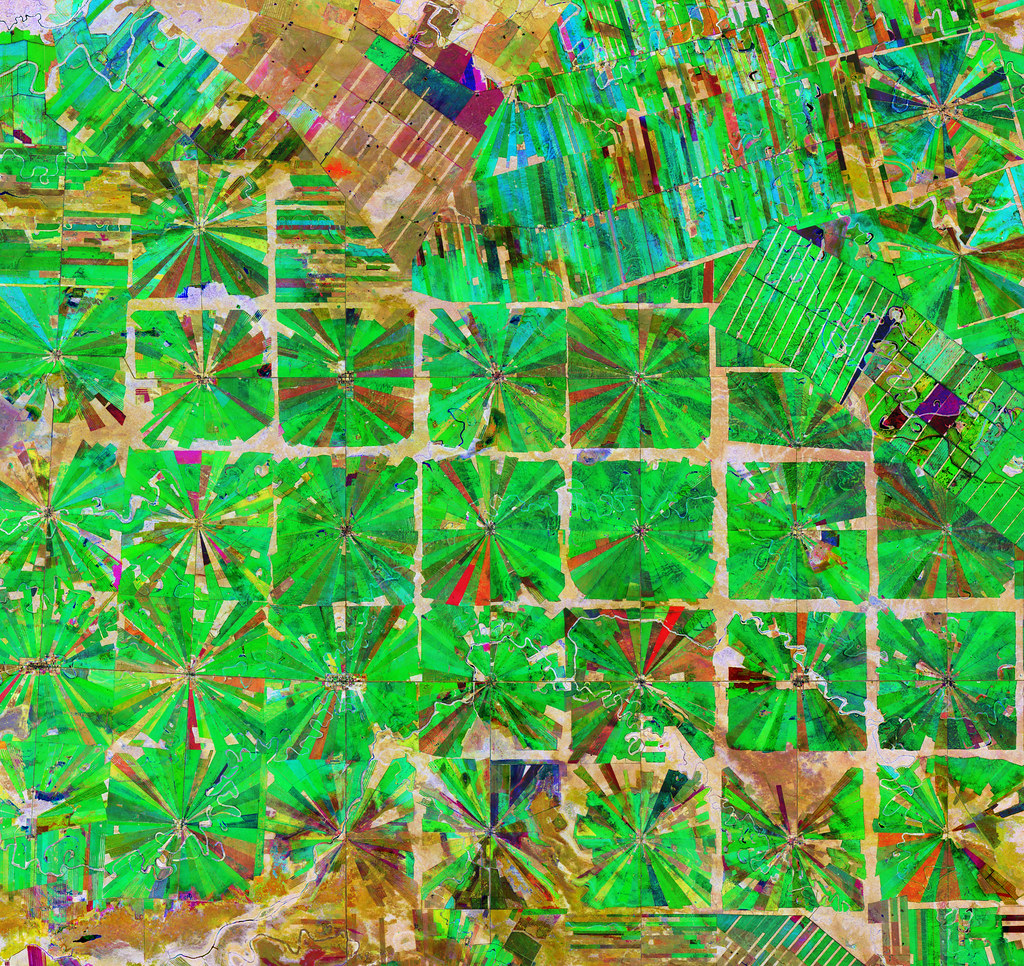
Vegetation monitoring for Agriculture with Sentinel-2

As the world population grows so does the demand for food, fuel, and raw materials provided by agriculture. However, the Earth stubbornly stays the same size and so the growing needs must be satisfied on increasingly smaller area of arable land per capita while taking into account environmental sustainability and climate change effects and their mitigation. We need to make our agricultural production increasingly more effective – using less resources to grow more. Remote sensing is an ideal tool to assist the evolution of agricultural practices in order to face this major challenge, by providing repetitive information on crop status throughout the season at different scales and for different actors.
There are a number of remote sensing sensors used today for monitoring of crops, from precision farming to large scale food security assessments. This webinar will introduce the use of Sentinel-2 multispectral data to derive high resolution information on crop biophysical parameters such as Leaf Area Index (LAI), fraction of Absorbed Photosynthetically Active Radiation (fAPAR), Fraction of Vegetation Cover (FVC), and the Canopy chlorophyll and Water content (CCC, CWC). These parameters provide information on vegetation/crop status such as health, water/nutrient stress, etc. and serve as input for estimation of more complex variables such as yield.
This webinar is organised by the RUS Service, which is managed by the European Space Agency (ESA).